Grades K–12 (Fabric Map)
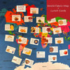
Bring the world to your classroom with this hands-on, washable World Fabric Map! Measuring 42" x 30", this high-quality cotton map offers a fun, durable way to explore geography, agriculture, and food systems from around the globe. Countries and major bodies of water are clearly labeled, and serged edges ensure long-lasting use in both indoor and outdoor learning environments.
Kit Contents
- One 42" x 30" cotton fabric world map with serged edges
Downloads & Resources
- National Agricultural Literacy Curriculum Matrix – Find lesson plans that connect geography and agriculture
Classroom Uses
- Enhance geography, social studies, and agriculture lessons with a hands-on, visual map
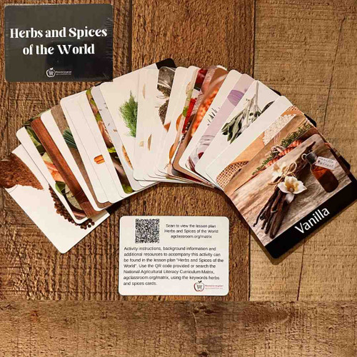
- Incorporate food and culture studies using optional companion cards
- Create interactive displays for global agriculture exploration
Optional Add-Ons:
Customize your map experience with companion card sets (sold separately):


